Stampa:Roman provinces in a 1867 school atlas.jpg

Fajl oriġinali (3,717 × 2,866 pixel, dimensjoni: 969 KB, tip ta' MIME: image/jpeg)
| Dan huwa fajl mill-Wikimedia Commons. Il-deskrizzjoni fuq il-paġna ta' diskussjoni oriġinali tidher hawn taħt.
|
Taqsira
| Deskrizzjoni |
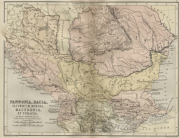
Pannonia, Illyricum, Moesia, Macedonia Et Thracia,(Map 9)
|
||||
| Data | uploaded 20 August 2005, made 1867 | ||||
| Sors | School Atlas of classical geography: comprising, in twenty-three plates by Alexander Keith Johnston, Publisher;William Blackwood and Sons,1867 | ||||
| Awtur | Alexander Keith Johnston | ||||
| Permess (Użu mill-ġdid tal-fajl) |
|
||||
Kronoloġija tal-fajl
Agħfas fuq il-grupp data/ħin biex tara l-fajl biex tara kif jidher dak il-ħin.
| Data/Ħin | Minjatura | Qisien | Utent | Kumment | |
|---|---|---|---|---|---|
| kurrenti | 12:09, 20 Awwissu 2005 | | 3,717 × 2,866 (969 KB) | Bogdan | Pannonia, Dacia, Illyria, Moesia {{PD}} Public Domain map from an old book. Category:Roman provinces Category:Dacia |
Użu tal-fajl
Il-Paġna segwenti twassal għal din l-istampa:
L-użu globali tal-fajl
Il-wikis segwenti jużaw dan il-fajl:
- Użu fuq ar.wikipedia.org
- Użu fuq azb.wikipedia.org
- Użu fuq be.wikipedia.org
- Użu fuq de.wikipedia.org
- Użu fuq el.wikipedia.org
- Użu fuq en.wikipedia.org
- Użu fuq es.wikipedia.org
- Użu fuq fa.wikipedia.org
- Użu fuq id.wikipedia.org
- Użu fuq ko.wikipedia.org
- Użu fuq nl.wikipedia.org
- Użu fuq pt.wikipedia.org
- Użu fuq ru.wikipedia.org
- Użu fuq sl.wikipedia.org
- Użu fuq sr.wikipedia.org
- Użu fuq tr.wikipedia.org
- Użu fuq uk.wikipedia.org