Stampa:Narva old town 2009.jpg

Daqs tad-dehra proviżorja: 800 × 533 pixels. Riżoluzzjonijiet oħra: 320 × 213 pixels | 640 × 427 pixels | 1,024 × 683 pixels | 1,280 × 853 pixels | 2,560 × 1,707 pixels | 3,072 × 2,048 pixels
Fajl oriġinali (3,072 × 2,048 pixel, dimensjoni: 1.66 MB, tip ta' MIME: image/jpeg)
| Dan huwa fajl mill-Wikimedia Commons. Il-deskrizzjoni fuq il-paġna ta' diskussjoni oriġinali tidher hawn taħt.
|
Student Aid Direct
Taqsira
| Deskrizzjoni |
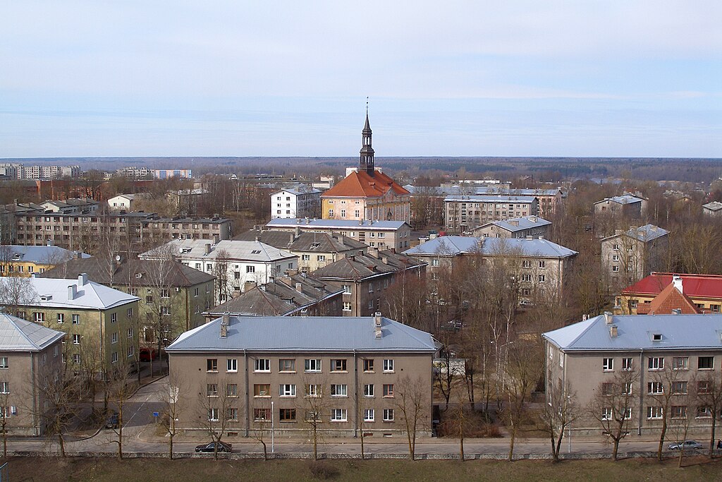
English: Narva town hall in what was before WWII the old town, surrounded by Soviet-era buildings.
Eesti: Narva raekoda, ümbritsetud nõukaaegsete hoonetega. |
| Data | |
| Sors | Opra proprja |
| Awtur | Hannu |
| Camera location | | View this and other nearby images on: OpenStreetMap |
|---|
Liċenzja
| I, the copyright holder of this work, release this work into the public domain. This applies worldwide. In some countries this may not be legally possible; if so: I grant anyone the right to use this work for any purpose, without any conditions, unless such conditions are required by law. |
Kronoloġija tal-fajl
Agħfas fuq il-grupp data/ħin biex tara l-fajl biex tara kif jidher dak il-ħin.
| Data/Ħin | Minjatura | Qisien | Utent | Kumment | |
|---|---|---|---|---|---|
| kurrenti | 18:26, 24 April 2009 | | 3,072 × 2,048 (1.66 MB) | Hannu~commonswiki | {{Information |Description={{en|1=Narva town hall in what was before WWII the old town, surrounded by Soviet-era buildings.}} {{et|1=Narva raekoda, ümbritsetud nõukaaegsete hoonetega.}} |Source=Own work by uploader |Author=[[ |
Użu tal-fajl
Il-Paġna segwenti twassal għal din l-istampa:
L-użu globali tal-fajl
Il-wikis segwenti jużaw dan il-fajl:
- Użu fuq ar.wikipedia.org
- Użu fuq el.wikipedia.org
- Użu fuq en.wikipedia.org
- Użu fuq eo.wikipedia.org
- Użu fuq es.wikipedia.org
- Użu fuq et.wikipedia.org
- Użu fuq fa.wikipedia.org
- Użu fuq fi.wikipedia.org
- Użu fuq hu.wikipedia.org
- Użu fuq it.wikipedia.org
- Użu fuq ja.wikipedia.org
- Użu fuq ltg.wikipedia.org
- Użu fuq lv.wikipedia.org
- Użu fuq mn.wikipedia.org
- Użu fuq no.wikipedia.org
- Użu fuq pl.wikipedia.org
- Użu fuq ro.wikipedia.org
- Użu fuq ru.wikipedia.org
- Użu fuq sco.wikipedia.org
- Użu fuq simple.wikipedia.org
- Użu fuq sl.wikipedia.org
- Użu fuq tt.wikipedia.org
- Użu fuq uk.wikipedia.org
- Użu fuq ur.wikipedia.org
- Użu fuq uz.wikipedia.org
- Użu fuq vi.wikipedia.org