Stampa:Uruguay fisico.png

Daqs tad-dehra proviżorja: 471 × 599 pixels. Riżoluzzjonijiet oħra: 188 × 240 pixels | 377 × 480 pixels | 603 × 768 pixels | 1,100 × 1,400 pixels
Fajl oriġinali (1,100 × 1,400 pixel, dimensjoni: 209 KB, tip ta' MIME: image/png)
| Dan huwa fajl mill-Wikimedia Commons. Il-deskrizzjoni fuq il-paġna ta' diskussjoni oriġinali tidher hawn taħt.
|

|
This map image could be re-created using vector graphics as an SVG file. This has several advantages; see Commons:Media for cleanup for more information. If an SVG form of this image is available, please upload it and afterwards replace this template with
{{vector version available|new image name}}.
It is recommended to name the SVG file “Uruguay fisico.svg”—then the template Vector version available (or Vva) does not need the new image name parameter. |
Taqsira
| Deskrizzjoni |
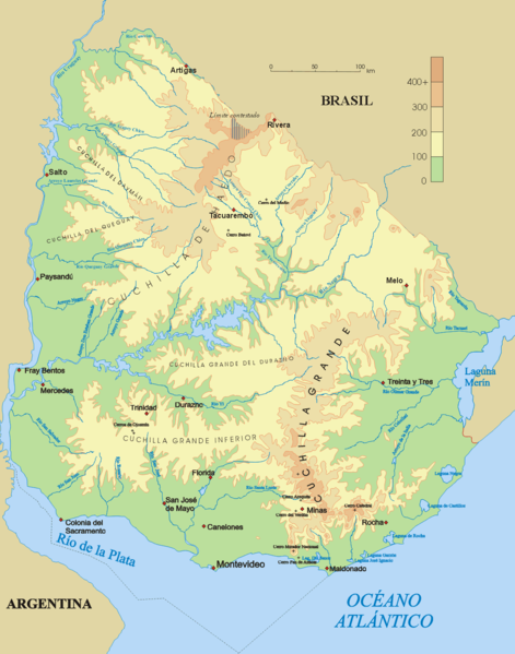
Español: Mapa físico de Uruguay.
English: Topographical map of Uruguay |
| Data | |
| Sors | Opra proprja |
| Awtur | Jordevi |
| Verżjonijiet oħra |
|

Liċenzja
| I, the copyright holder of this work, release this work into the public domain. This applies worldwide. In some countries this may not be legally possible; if so: I grant anyone the right to use this work for any purpose, without any conditions, unless such conditions are required by law. |
Kronoloġija tal-fajl
Agħfas fuq il-grupp data/ħin biex tara l-fajl biex tara kif jidher dak il-ħin.
| Data/Ħin | Minjatura | Qisien | Utent | Kumment | |
|---|---|---|---|---|---|
| kurrenti | 03:48, 28 Diċembru 2006 | | 1,100 × 1,400 (209 KB) | Jordevi | Mapa físico de Uruguay. Category:Maps of Uruguay |
Użu tal-fajl
Il-Paġna segwenti twassal għal din l-istampa:
L-użu globali tal-fajl
Il-wikis segwenti jużaw dan il-fajl:
- Użu fuq an.wikipedia.org
- Użu fuq arz.wikipedia.org
- Użu fuq ast.wikipedia.org
- Użu fuq bg.wikipedia.org
- Użu fuq ca.wikipedia.org
- Użu fuq ceb.wikipedia.org
- Użu fuq cs.wikipedia.org
- Użu fuq de.wikipedia.org
- Cuchilla de Haedo
- Cuchilla Grande
- Río Negro (Uruguay)
- Sierra Carapé
- Río Yí
- Río Tacuarembó
- Río Arapey
- Río Daymán
- Rio Quaraí
- Río Queguay
- Río Queguay Chico
- Río San Salvador
- Río Rosario
- Río Tacuarí
- Río San Juan (Uruguay)
- Río Cebollatí
- Río Arapey Chico
- Rio Jaguarão
- Río San José
- Sierra de las Ánimas
- Arroyo de la India
- Río Olimar
- Río Santa Lucía (Uruguay)
- Arroyo Grande (Río Negro, rechtsseitig)
- Benutzer:Gniesgnatz/baustelle
- Użu fuq en.wikipedia.org
- Użu fuq es.wikipedia.org
Ara l-użu globali ta' dan il-fajl.