Stampa:Suwarrow-WorldWind.png

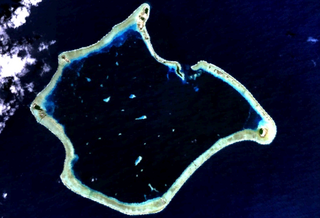
Daqs tad-dehra proviżorja: 800 × 544 pixels. Riżoluzzjonijiet oħra: 320 × 218 pixels | 640 × 436 pixels | 1,024 × 697 pixels | 1,152 × 784 pixels
Fajl oriġinali (1,152 × 784 pixel, dimensjoni: 612 KB, tip ta' MIME: image/png)
| Dan huwa fajl mill-Wikimedia Commons. Il-deskrizzjoni fuq il-paġna ta' diskussjoni oriġinali tidher hawn taħt.
|
Taqsira
| Deskrizzjoni |
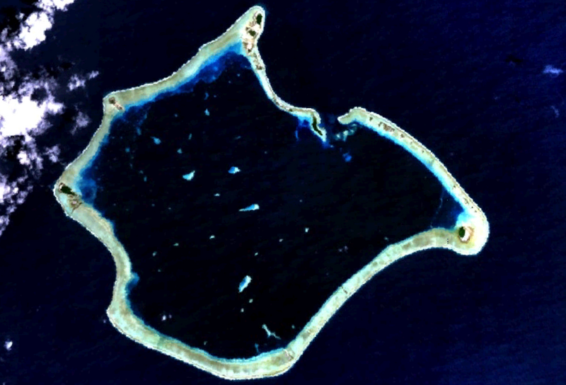
English: Suwarrow atoll, part of the Cook Islands. Satellite picture. |
| Data | 7 Settembru 2005 (upload date) |
| Sors | Satellite imagery taken from NASA World Wind software (by screenshot in version 1.3.1, on 7 September 2005.) |
| Awtur | NASA |
Liċenzja
| This image is in the public domain because it is a screenshot from NASA’s globe software World Wind using a public domain layer, such as Blue Marble, MODIS, Landsat, SRTM, USGS or GLOBE.
|
 |
Kronoloġija tal-fajl
Agħfas fuq il-grupp data/ħin biex tara l-fajl biex tara kif jidher dak il-ħin.
| Data/Ħin | Minjatura | Qisien | Utent | Kumment | |
|---|---|---|---|---|---|
| kurrenti | 02:32, 7 Settembru 2005 | | 1,152 × 784 (612 KB) | Gadfium | This is a screenshot made using the NASA World Wind program, version 1.3.1, on 7 September 2005. This shows the Suwarrow atoll, part of the Cook Islands. |
Użu tal-fajl
Il-Paġna segwenti twassal għal din l-istampa:
L-użu globali tal-fajl
Il-wikis segwenti jużaw dan il-fajl:
- Użu fuq ca.wikipedia.org
- Użu fuq ceb.wikipedia.org
- Użu fuq cs.wikipedia.org
- Użu fuq de.wikipedia.org
- Użu fuq de.wikivoyage.org
- Użu fuq en.wikipedia.org
- Użu fuq es.wikipedia.org
- Użu fuq et.wikipedia.org
- Użu fuq fi.wikipedia.org
- Użu fuq fr.wikipedia.org
- Użu fuq gl.wikipedia.org
- Użu fuq io.wikipedia.org
- Użu fuq it.wikipedia.org
- Użu fuq lt.wikipedia.org
- Użu fuq nl.wikipedia.org
- Użu fuq no.wikipedia.org
- Użu fuq ru.wikipedia.org
- Użu fuq sk.wikipedia.org
- Użu fuq sv.wikipedia.org
- Użu fuq www.wikidata.org