Stampa:South Sudan sat.jpg

Daqs tad-dehra proviżorja: 799 × 600 pixels. Riżoluzzjonijiet oħra: 320 × 240 pixels | 640 × 480 pixels | 1,023 × 768 pixels | 1,280 × 961 pixels | 1,464 × 1,099 pixels
Fajl oriġinali (1,464 × 1,099 pixel, dimensjoni: 349 KB, tip ta' MIME: image/jpeg)
| Dan huwa fajl mill-Wikimedia Commons. Il-deskrizzjoni fuq il-paġna ta' diskussjoni oriġinali tidher hawn taħt.
|
Taqsira
| Deskrizzjoni |
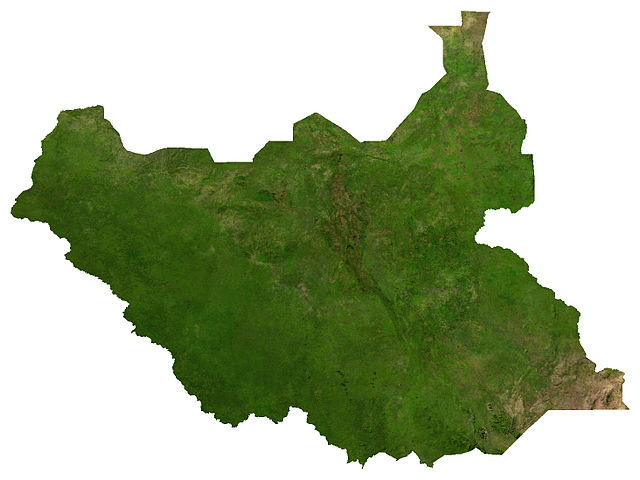
English: Satellite image of South Sudan, from maplibrary.org |
| Data | |
| Sors | The Map Library |
| Awtur | The Map Library |
Liċenzja
| Copyleft: This work of art is free; you can redistribute it and/or modify it according to terms of the Free Art License. You will find a specimen of this license on the Copyleft Attitude site as well as on other sites. |
| This file is in the public domain, because it was generated by a user, using free sources available at The Map Library.
Note that this does not include the maps in the Global Administrative Areas section of the homepage. |
Kronoloġija tal-fajl
Agħfas fuq il-grupp data/ħin biex tara l-fajl biex tara kif jidher dak il-ħin.
| Data/Ħin | Minjatura | Qisien | Utent | Kumment | |
|---|---|---|---|---|---|
| kurrenti | 01:11, 1 Awwissu 2011 | | 1,464 × 1,099 (349 KB) | LouisianaFan~commonswiki |
Użu tal-fajl
Il-Paġna segwenti twassal għal din l-istampa:
L-użu globali tal-fajl
Il-wikis segwenti jużaw dan il-fajl:
- Użu fuq af.wikipedia.org
- Użu fuq arz.wikipedia.org
- Użu fuq be.wikipedia.org
- Użu fuq bn.wikipedia.org
- Użu fuq cs.wikipedia.org
- Użu fuq de.wikipedia.org
- Użu fuq en.wikipedia.org
- Użu fuq es.wikipedia.org
- Użu fuq fr.wikipedia.org
- Użu fuq hi.wikipedia.org
- Użu fuq hu.wikipedia.org
- Użu fuq it.wikipedia.org
- Użu fuq ka.wikipedia.org
- Użu fuq li.wikipedia.org
- Użu fuq ru.wikipedia.org
- Użu fuq sw.wikipedia.org
- Użu fuq te.wikipedia.org
- Użu fuq trv.wikipedia.org
- Użu fuq uk.wikipedia.org
- Użu fuq zh.wikipedia.org