Stampa:Niger BMNG.png

Daqs tad-dehra proviżorja: 758 × 599 pixels. Riżoluzzjonijiet oħra: 304 × 240 pixels | 607 × 480 pixels | 971 × 768 pixels | 1,280 × 1,012 pixels | 2,427 × 1,919 pixels
Fajl oriġinali (2,427 × 1,919 pixel, dimensjoni: 3.72 MB, tip ta' MIME: image/png)
| Dan huwa fajl mill-Wikimedia Commons. Il-deskrizzjoni fuq il-paġna ta' diskussjoni oriġinali tidher hawn taħt.
|
Taqsira
| Deskrizzjoni |
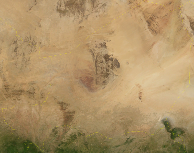
English: Satellite image of Niger in September 2004. Blue Marble Next-Generation image. |
| Data | Taken in Settembru 2004 |
| Sors | Satellite imagery taken from NASA World Wind software (by screenshot) |
| Awtur | NASA |
| Verżjonijiet oħra |
Derivative works of this file: |
Liċenzja
| This image is in the public domain because it is a screenshot from NASA’s globe software World Wind using a public domain layer, such as Blue Marble, MODIS, Landsat, SRTM, USGS or GLOBE.
|
 |
Kronoloġija tal-fajl
Agħfas fuq il-grupp data/ħin biex tara l-fajl biex tara kif jidher dak il-ħin.
| Data/Ħin | Minjatura | Qisien | Utent | Kumment | |
|---|---|---|---|---|---|
| kurrenti | 18:55, 26 April 2006 | | 2,427 × 1,919 (3.72 MB) | Hautala | {{PD-WorldWind}} Satellite image of Niger in September 2004. Screenshot from NASA World Wind, Blue Marble Next-Generation layer. Category:Satellite images of countries |
Użu tal-fajl
L-ebda paġna fuq il-Wikipedija Maltija torbot lejn dan il-fajl.
L-użu globali tal-fajl
Il-wikis segwenti jużaw dan il-fajl:
- Użu fuq af.wikipedia.org
- Użu fuq en.wikipedia.org