Stampa:Atiumap.png

Daqs tad-dehra proviżorja: 725 × 600 pixels. Riżoluzzjonijiet oħra: 290 × 240 pixels | 580 × 480 pixels | 928 × 768 pixels | 1,237 × 1,024 pixels | 1,676 × 1,387 pixels
Fajl oriġinali (1,676 × 1,387 pixel, dimensjoni: 393 KB, tip ta' MIME: image/png)
| Dan huwa fajl mill-Wikimedia Commons. Il-deskrizzjoni fuq il-paġna ta' diskussjoni oriġinali tidher hawn taħt.
|
Taqsira
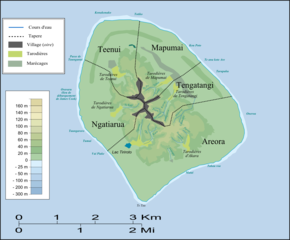
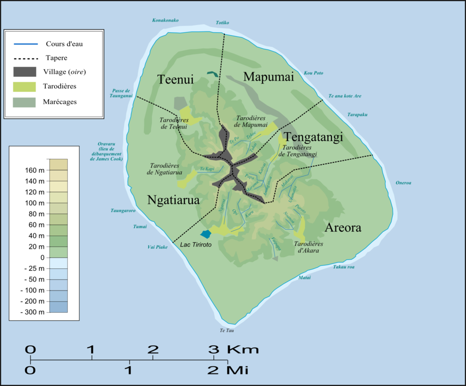
| Deskrizzjoni | Carte d'Atiu (topographie et tapere)/Map of Atiu (topography and tapere) |
| Data | |
| Sors | Opra proprja |
| Awtur | Nevers |
Liċenzja
| I, the copyright holder of this work, release this work into the public domain. This applies worldwide. In some countries this may not be legally possible; if so: I grant anyone the right to use this work for any purpose, without any conditions, unless such conditions are required by law. |
Kronoloġija tal-fajl
Agħfas fuq il-grupp data/ħin biex tara l-fajl biex tara kif jidher dak il-ħin.
| Data/Ħin | Minjatura | Qisien | Utent | Kumment | |
|---|---|---|---|---|---|
| kurrenti | 16:48, 3 Jannar 2008 | | 1,676 × 1,387 (393 KB) | Nevers | {{Information |Description=Carte d'Atiu (topographie et tapere)/Map of Atiu (topography and tapere) |Source=travail personnel |Date=Janvier 2008 |Author= Nevers |Permission= |other_versions= }} Category:Cook Islands |
Użu tal-fajl
Il-Paġna segwenti twassal għal din l-istampa:
L-użu globali tal-fajl
Il-wikis segwenti jużaw dan il-fajl:
- Użu fuq ca.wikipedia.org
- Użu fuq cs.wikipedia.org
- Użu fuq de.wikipedia.org
- Użu fuq en.wikipedia.org
- Użu fuq es.wikipedia.org
- Użu fuq et.wikipedia.org
- Użu fuq fi.wikipedia.org
- Użu fuq fr.wikipedia.org
- Użu fuq gl.wikipedia.org
- Użu fuq id.wikipedia.org
- Użu fuq is.wikipedia.org
- Użu fuq it.wikipedia.org
- Użu fuq it.wikivoyage.org
- Użu fuq ja.wikipedia.org
- Użu fuq ka.wikipedia.org
- Użu fuq la.wikipedia.org
- Użu fuq nl.wikipedia.org
- Użu fuq simple.wikipedia.org
- Użu fuq su.wikipedia.org
- Użu fuq tr.wikipedia.org