Stampa:Retje IMG 2573.jpg

Daqs tad-dehra proviżorja: 800 × 600 pixels. Riżoluzzjonijiet oħra: 320 × 240 pixels | 640 × 480 pixels | 1,024 × 768 pixels | 1,280 × 960 pixels | 2,560 × 1,920 pixels | 3,264 × 2,448 pixels
Fajl oriġinali (3,264 × 2,448 pixel, dimensjoni: 3.53 MB, tip ta' MIME: image/jpeg)
| Dan huwa fajl mill-Wikimedia Commons. Il-deskrizzjoni fuq il-paġna ta' diskussjoni oriġinali tidher hawn taħt.
|
Taqsira
| Deskrizzjoni |
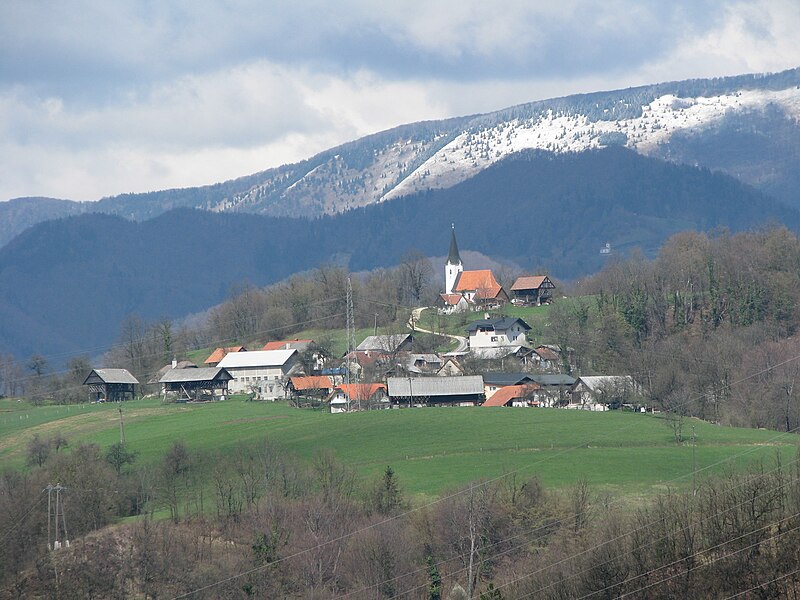
Slovenščina: Retje, tedaj zaselek Trbovelj, pod cerkvijo Svetega križa. V ozadju zasnežena Čemšeniška planina.
English: Retje, then hamlet of Trbovlje, below the Church of Saint Cross, Slovenia |
| Data | |
| Sors | Opra proprja |
| Awtur | romanm (talk) |
| Permess (Użu mill-ġdid tal-fajl) |
public domain |
| Camera location | | View this and other nearby images on: OpenStreetMap |
|---|
Liċenzja
| I, the copyright holder of this work, release this work into the public domain. This applies worldwide. In some countries this may not be legally possible; if so: I grant anyone the right to use this work for any purpose, without any conditions, unless such conditions are required by law. |
Kronoloġija tal-fajl
Agħfas fuq il-grupp data/ħin biex tara l-fajl biex tara kif jidher dak il-ħin.
| Data/Ħin | Minjatura | Qisien | Utent | Kumment | |
|---|---|---|---|---|---|
| kurrenti | 14:20, 23 Mejju 2010 | | 3,264 × 2,448 (3.53 MB) | Romanm | {{Information |Description={{sl|Retje, danes zaselek Trbovelj, pod cerkvijo Svetega križa. V ozadju zasnežena Čemšeniška planina.}} {{en|Retje, nowadays hamlet of Trbovlje, below the Church of Saint Cros |
Użu tal-fajl
Il-Paġna segwenti twassal għal din l-istampa:
L-użu globali tal-fajl
Il-wikis segwenti jużaw dan il-fajl:
- Użu fuq bs.wikipedia.org
- Użu fuq de.wikipedia.org
- Użu fuq en.wikipedia.org
- Użu fuq mk.wikipedia.org
- Użu fuq pl.wikipedia.org
- Użu fuq ro.wikipedia.org
- Użu fuq sl.wikipedia.org
- Użu fuq sr.wikipedia.org
- Użu fuq www.wikidata.org