Stampa:Lebanon adm location map.svg

Fajl oriġinali (Fajl fil-format SVG, dimensjoni nominali 992 × 1,141 pixel, dimensjoni tal-fajl: 133 KB)
| Dan huwa fajl mill-Wikimedia Commons. Il-deskrizzjoni fuq il-paġna ta' diskussjoni oriġinali tidher hawn taħt.
|
Taqsira
| Deskrizzjoni |
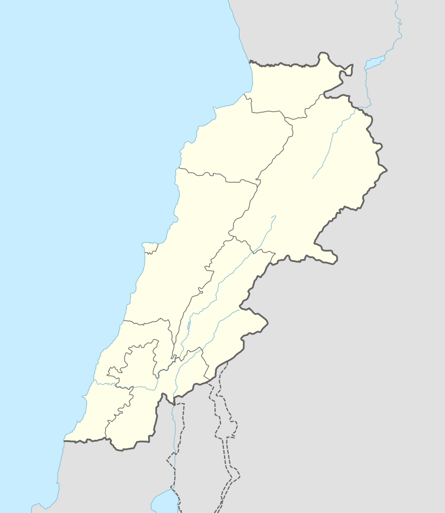
Deutsch: Positionskarte von Libanon
English: Location map of Lebanon
|
||||||||||||
| Data | |||||||||||||
| Sors |
Own work using:
|
||||||||||||
| Awtur | NordNordWest | ||||||||||||
| SVG genesis | This map was created with Adobe Illustrator.
|
||||||||||||

Liċenzja
Usage of this file with:

explanatory notes: Legally binding is only the full legalcode. For a free usage I recommend to respect the following licence conditions:
1. Provide my name as given above: NordNordWest,
2. a copy of, or the URI for, the applicable license: https://creativecommons.org/licenses/by-sa/3.0/de/legalcode,
3. the title of the work,
4. in the case of an adaptation, a credit identifying the use of the work in the adaptation.
This license and the rights granted hereunder will terminate automatically upon any breach by you of the terms of this license. Any of the above conditions can be waived if you get permission from the copyright holder. If you have questions or wish differing conditions, please contact me through nnwest or my discussion page ![]() t-online.de
t-online.de
- Inti ħieles:
- li taqsam – li tikkopja, tiddistribwixxi u tittrażmetti din l-opra
- li timmodifika – li tadatta l-biċċa xogħol
- Taħt il-kundizzjonijiet segwenti:
- attribuzzjoni – Għandek tattribwixxi x-xogħol bil-mod speċifikat mill-awtur jew minn min ta l-l-iċenzja (imma mhux b'xi mod li jissuġġerixxi ji jappoġjaw lilek jew l-użu tax-xogħol).
- Ixxerja bl-istess mod – Jekk tbiddel, tittrasforma jew tibni fuq dan il-materjal, inti għandek bżonn taqsam il-kontribuzzjonijiet tiegħek taħt l-istess liċenzja jew waħda li taqbel ma' dik oriġinali.

Kronoloġija tal-fajl
Agħfas fuq il-grupp data/ħin biex tara l-fajl biex tara kif jidher dak il-ħin.
| Data/Ħin | Minjatura | Qisien | Utent | Kumment | |
|---|---|---|---|---|---|
| kurrenti | 14:29, 20 Settembru 2016 | | 992 × 1,141 (133 KB) | NordNordWest | corr |
| 08:37, 5 Awwissu 2016 |  | 992 × 1,141 (134 KB) | NordNordWest | corr | |
| 16:54, 1 Frar 2015 |  | 992 × 1,141 (133 KB) | NordNordWest | == {{int:filedesc}} == {{Information |Description= {{de|1=Positionskarte von Libanon}} {{en|1=Location map of Lebanon}} {{Location map series N |stretching=115 |top=34.9 |bottom=32.8 |left=34.8 |right=36.9 }} |Source={{Own using}} * United States Natio... |
Użu tal-fajl
L-użu globali tal-fajl
Il-wikis segwenti jużaw dan il-fajl:
- Użu fuq ar.wikipedia.org
- بعلبك
- الحر العاملي
- حبشيت
- الزواريب
- حلبا
- الشيخ محمد
- حاصبيا
- فنار (جبل لبنان)
- مقنة
- قصر الهرمل
- الدوري اللبناني الممتاز
- عصر الرعاة الحجري الحديث
- وحدة:Location map/data/Lebanon
- وحدة:Location map/data/Lebanon/شرح
- قالب:خريطة مفصلة للتمرد اللبناني
- الدوري اللبناني الممتاز 2017–18
- اشتباكات شمال لبنان (2014)
- الدوري اللبناني الممتاز 2018–19
- الدوري اللبناني الدرجة الثانية 2018–19
- قلعة البسترة
- الدوري اللبناني الممتاز 2016–17
- الدوري اللبناني الممتاز 2008–09
- الدوري اللبناني الممتاز 2010–11
- الدوري اللبناني الممتاز 2011–12
- الدوري اللبناني الممتاز 2015–16
- حادثة إطلاق النار في طرابلس 2019
- معركة صيدا (1991)
- بقعاتا (منطقة)
- معركة طرابلس (1983)
- الدوري اللبناني الدرجة الثانية 2020–21
- الدوري اللبناني الدرجة الثانية 2021–22
- الدوري اللبناني الممتاز 2023–24
- الدورة (لبنان)
- Użu fuq arz.wikipedia.org
- Użu fuq ast.wikipedia.org
Ara l-użu globali ta' dan il-fajl.