Stampa:Colombia location map.svg

Size of this PNG preview of this SVG file: 512 × 579 pixels. Riżoluzzjonijiet oħra: 212 × 240 pixels | 424 × 480 pixels | 679 × 768 pixels | 905 × 1,024 pixels | 1,811 × 2,048 pixels
Fajl oriġinali (Fajl fil-format SVG, dimensjoni nominali 512 × 579 pixel, dimensjoni tal-fajl: 1.07 MB)
| Dan huwa fajl mill-Wikimedia Commons. Il-deskrizzjoni fuq il-paġna ta' diskussjoni oriġinali tidher hawn taħt.
|
Taqsira
| Deskrizzjoni |
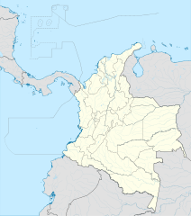
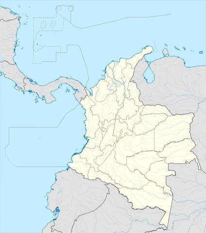
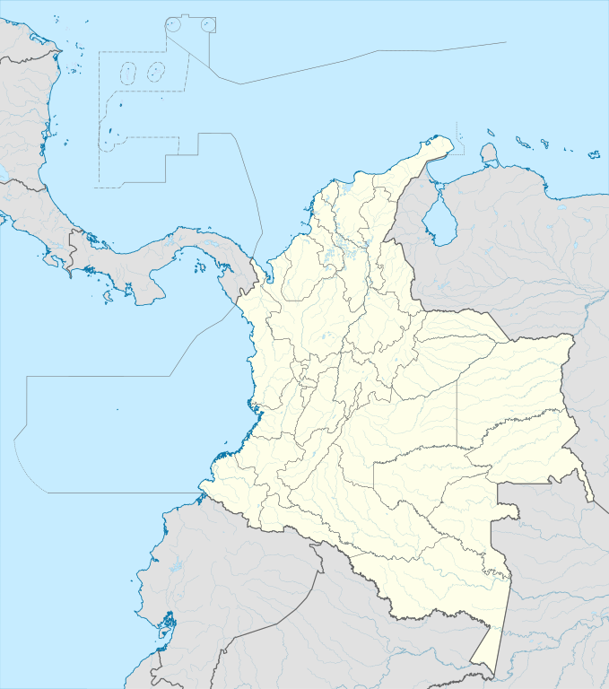
English: Location map of Colombia
Equirectangular projection. Geographic limits of the map:
|
| Data | |
| Sors | Opra proprja (Original text: own work, using Demis data) |
| Awtur | Milenioscuro |
| Verżjonijiet oħra |
Derivative works of this file: Bajo Nuevo Colombia location.png
|
| SVG genesis | This W3C-invalid map was created with Adobe Illustrator. |


.svg)

Liċenzja
Milenioscuro, id-detentur tal-copyright ta' dan ix-xogħol, jiddikjara li se jippubblikah taħt il-liċenzja segwenti:
Dan il-fajl huwa liċenzjat taħt it-termini tal-liċenzja Creative Commons Attribuzzjoni-Aqsam bl-istess mod 3.0 Unported
Attribuzzjoni: Milenioscuro
- Inti ħieles:
- li taqsam – li tikkopja, tiddistribwixxi u tittrażmetti din l-opra
- li timmodifika – li tadatta l-biċċa xogħol
- Taħt il-kundizzjonijiet segwenti:
- attribuzzjoni – Għandek tattribwixxi x-xogħol bil-mod speċifikat mill-awtur jew minn min ta l-l-iċenzja (imma mhux b'xi mod li jissuġġerixxi ji jappoġjaw lilek jew l-użu tax-xogħol).
- Ixxerja bl-istess mod – Jekk tbiddel, tittrasforma jew tibni fuq dan il-materjal, inti għandek bżonn taqsam il-kontribuzzjonijiet tiegħek taħt l-istess liċenzja jew waħda li taqbel ma' dik oriġinali.
| Annotations | This image is annotated: View the annotations at Commons |


Kronoloġija tal-fajl
Agħfas fuq il-grupp data/ħin biex tara l-fajl biex tara kif jidher dak il-ħin.
| Data/Ħin | Minjatura | Qisien | Utent | Kumment | |
|---|---|---|---|---|---|
| kurrenti | 20:17, 22 Frar 2022 | | 512 × 579 (1.07 MB) | Milenioscuro | standard colors |
| 11:10, 1 Diċembru 2017 |  | 2,027 × 2,294 (1.37 MB) | Milenioscuro | limits | |
| 11:00, 1 Diċembru 2017 |  | 2,027 × 2,294 (1.37 MB) | Milenioscuro | more visible limits | |
| 05:48, 28 Jannar 2014 |  | 2,027 × 2,294 (1.39 MB) | Milenioscuro | correction of departamental, international and maritime boundaries, courses of rivers, coastline, and line thickness | |
| 17:01, 29 Mejju 2012 |  | 2,007 × 2,298 (1.07 MB) | Milenioscuro | correction of some departamental borders | |
| 18:58, 26 Marzu 2012 |  | 2,007 × 2,298 (1.08 MB) | Milenioscuro | correction of international borders, added layers, rivers, etc | |
| 08:12, 17 Novembru 2011 |  | 2,007 × 2,298 (1.04 MB) | Milenioscuro | simplification of rivers, correction of some borders | |
| 23:48, 2 Novembru 2009 |  | 2,007 × 2,298 (1.14 MB) | Milenioscuro | thick boundaries of departments | |
| 09:10, 1 Novembru 2009 |  | 2,007 × 2,298 (1.15 MB) | Milenioscuro | Adjusted to match style of location maps 2008 | |
| 07:30, 26 Ottubru 2009 |  | 2,268 × 2,676 (1.4 MB) | Milenioscuro | maritime boundaries |
Użu tal-fajl
Il-Paġna segwenti twassal għal din l-istampa:
L-użu globali tal-fajl
Il-wikis segwenti jużaw dan il-fajl:
- Użu fuq af.wikipedia.org
- Użu fuq als.wikipedia.org
- Użu fuq an.wikipedia.org
- Użu fuq ar.wikipedia.org
- Użu fuq ast.wikipedia.org
- Bogotá
- Cali
- Estadiu Doce de Octubre
- Puerto Colombia (Guainía)
- González (Cesar)
- Estadiu Deportivo Cali
- Módulu:Mapa de llocalización/datos/Colombia
- Ríu Magdalena
- Capitoliu Nacional de Colombia
- Comisión Colombiana del Espaciu
- Nevado del Ruiz
- Módulu:Mapa de llocalización/datos/Colombia/usu
- Barranquilla
- Cartagena de Indias
- Estadiu Metropolitanu Roberto Meléndez
- Palenque de San Basilio
- Copa América 2001
- Sierra de Chiribiquete
- Inírida
- Aeropuertu Internacional El Dorado
- Casa d'Adoración Norte del Cauca
- Aeropuertu Guaymaral
- Aeropuertu Internacional Alfonso Bonilla Aragón
- Aeropuertu Internacional Alfredo Vásquez Cobo
- Aeropuertu Internacional Camilo Daza
- Aeropuertu Internacional El Edén
- Aeropuertu Internacional Ernesto Cortissoz
- Aeropuertu Internacional Gustavo Rojas Pinilla
- Aeropuertu Internacional José María Córdova
- Aeropuertu Internacional Matecaña
Ara l-użu globali ta' dan il-fajl.