Stampa:BenNevis2005.jpg

Daqs tad-dehra proviżorja: 800 × 600 pixels. Riżoluzzjonijiet oħra: 320 × 240 pixels | 640 × 480 pixels | 1,024 × 768 pixels | 1,280 × 960 pixels | 2,048 × 1,536 pixels
Fajl oriġinali (2,048 × 1,536 pixel, dimensjoni: 432 KB, tip ta' MIME: image/jpeg)
Kronoloġija tal-fajl
Agħfas fuq il-grupp data/ħin biex tara l-fajl biex tara kif jidher dak il-ħin.
| Data/Ħin | Minjatura | Qisien | Utent | Kumment | |
|---|---|---|---|---|---|
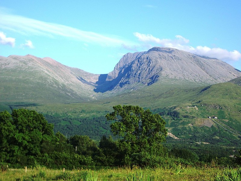
| kurrenti | 15:13, 20 Lulju 2005 |  | 2,048 × 1,536 (432 KB) | Thincat | Ben Nevis, Scotland. Photograph taken y myself, Thincat, July 2005. {{GFDL}} {{cc-by-sa-2.5}} UK |
Użu tal-fajl
Il-Paġna segwenti twassal għal din l-istampa:
L-użu globali tal-fajl
Il-wikis segwenti jużaw dan il-fajl:
- Użu fuq af.wikipedia.org
- Użu fuq ang.wikipedia.org
- Użu fuq an.wikipedia.org
- Użu fuq ar.wikipedia.org
- Użu fuq arz.wikipedia.org
- Użu fuq ast.wikipedia.org
- Użu fuq azb.wikipedia.org
- Użu fuq az.wikipedia.org
- Użu fuq az.wiktionary.org
- Użu fuq be.wikipedia.org
- Użu fuq bn.wikipedia.org
- Użu fuq br.wikipedia.org
- Użu fuq bs.wikipedia.org
- Użu fuq ca.wikipedia.org
- Użu fuq ceb.wikipedia.org
- Użu fuq cs.wikipedia.org
- Użu fuq dag.wikipedia.org
- Użu fuq de.wikipedia.org
- Użu fuq en.wikipedia.org
- Ben Nevis
- Geography of the United Kingdom
- Munro
- Wikipedia:WikiProject Mountains/General
- User:Confusedmiked
- User talk:Hike395/Ben Nevis
- Geography of Scotland
- Lists of mountains and hills in the British Isles
- Banavie
- Portal:Scotland/Selected article/2007
- Portal:Scotland/Selected picture/2007
- Portal:Scotland/Selected picture/May, 2007
- Portal:Scotland/Selected article/Week 34, 2007
- User:Chubbennaitor/Userboxes
Ara l-użu globali ta' dan il-fajl.