Stampa:Situação geográfica de Olivença (1766).jpg
Daqs tad-dehra proviżorja: 800 × 538 pixels. Riżoluzzjonijiet oħra: 320 × 215 pixels | 640 × 430 pixels | 1,024 × 689 pixels | 1,280 × 861 pixels | 1,752 × 1,178 pixels
Fajl oriġinali (1,752 × 1,178 pixel, dimensjoni: 1.46 MB, tip ta' MIME: image/jpeg)
| Dan huwa fajl mill-Wikimedia Commons. Il-deskrizzjoni fuq il-paġna ta' diskussjoni oriġinali tidher hawn taħt.
|
| Deskrizzjoni |
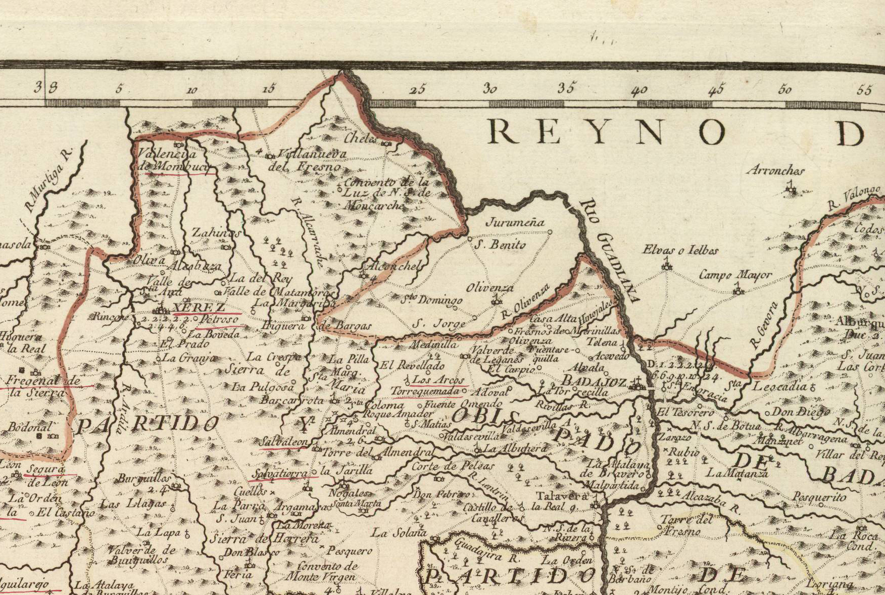
Português: Situação geográfica da comarca de Olivença no Mapa de la provincia de Estremadura (año 1766). Español: Situación geográfica de la comarca de Olivenza en el Mapa de la provincia de Estremadura (año 1773). |
||||||||||||||||||||||||||
| Data | |||||||||||||||||||||||||||
| Sors |
Biblioteca Nacional de Portugal: http://purl.pt/785 Mapas de España - Material cartográfico Cota local: C.A. 14 R. |
||||||||||||||||||||||||||
| Awtur |
|
||||||||||||||||||||||||||
| Permess (Użu mill-ġdid tal-fajl) |
|
||||||||||||||||||||||||||
| Institution |
|
||||||||||||||||||||||||||

.jpg)
Kronoloġija tal-fajl
Agħfas fuq il-grupp data/ħin biex tara l-fajl biex tara kif jidher dak il-ħin.
| Data/Ħin | Minjatura | Qisien | Utent | Kumment | |
|---|---|---|---|---|---|
| kurrenti | 09:50, 20 Jannar 2018 | | 1,752 × 1,178 (1.46 MB) | Alonso de Mendoza | mejor |
| 16:15, 28 April 2013 |  | 704 × 442 (126 KB) | Rotatebot | Bot: Image rotated by 90° | |
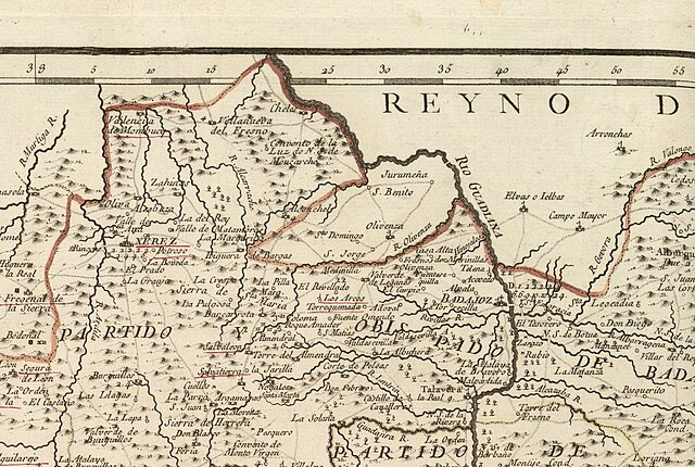
| 23:04, 22 Settembru 2007 |  | 442 × 712 (127 KB) | Dantadd | {{Information |Description={{pt|Situação geográfica da comarca de Olivença no ''Mapa de la provincia de Estremadura'' (año 1773).}}{{es|Situación geográfica de la comarca de Olivenza en el ''Mapa de la provincia de Estremadura'' (año 1773).}} |Sou |
Użu tal-fajl
Il-Paġna segwenti twassal għal din l-istampa:
L-użu globali tal-fajl
Il-wikis segwenti jużaw dan il-fajl:
- Użu fuq ca.wikipedia.org
- Użu fuq en.wikipedia.org
- Użu fuq eo.wikipedia.org
- Użu fuq es.wikipedia.org
- Użu fuq fr.wikipedia.org
- Użu fuq pt.wikipedia.org
- Użu fuq vi.wikipedia.org
.jpg)