Stampa:Reichskommissariat Ukraine (1942).svg

Size of this PNG preview of this SVG file: 450 × 456 pixels. Riżoluzzjonijiet oħra: 237 × 240 pixels | 474 × 480 pixels | 758 × 768 pixels | 1,011 × 1,024 pixels | 2,021 × 2,048 pixels
Fajl oriġinali (Fajl fil-format SVG, dimensjoni nominali 450 × 456 pixel, dimensjoni tal-fajl: 480 KB)
| Dan huwa fajl mill-Wikimedia Commons. Il-deskrizzjoni fuq il-paġna ta' diskussjoni oriġinali tidher hawn taħt.
|


.svg)
.svg)
.svg)
.svg)
.svg)


.svg)
.svg)
.svg)


.png)
.png)


.svg)


.svg)

.svg)


.svg)
.svg)
.svg)
.svg)


.svg)
.png)


.svg)


.svg)
.svg)


.svg)


.svg)


.svg)
.svg)
.svg)
.svg)
.svg)
.svg)
.svg)
.svg)
_cropped.svg)
.svg)
.svg)
.svg)
.svg)
.svg)
.svg)
.svg)
.svg)
.svg)
.svg)
.svg)
.svg)
.svg)
.svg)
.svg)
.svg)
.svg)
.svg)
.svg)
.svg)
.svg)
.svg)
.svg)
.svg)
.svg)
.svg)
.svg)
.svg)
.svg)
.svg)
.svg)
.svg)
.svg)
.svg)
.svg)
.svg)
.svg)
.svg)
.svg)
.svg)
.svg)
.svg)
.svg)
.svg)
Kronoloġija tal-fajl
Agħfas fuq il-grupp data/ħin biex tara l-fajl biex tara kif jidher dak il-ħin.
| Data/Ħin | Minjatura | Qisien | Utent | Kumment | |
|---|---|---|---|---|---|
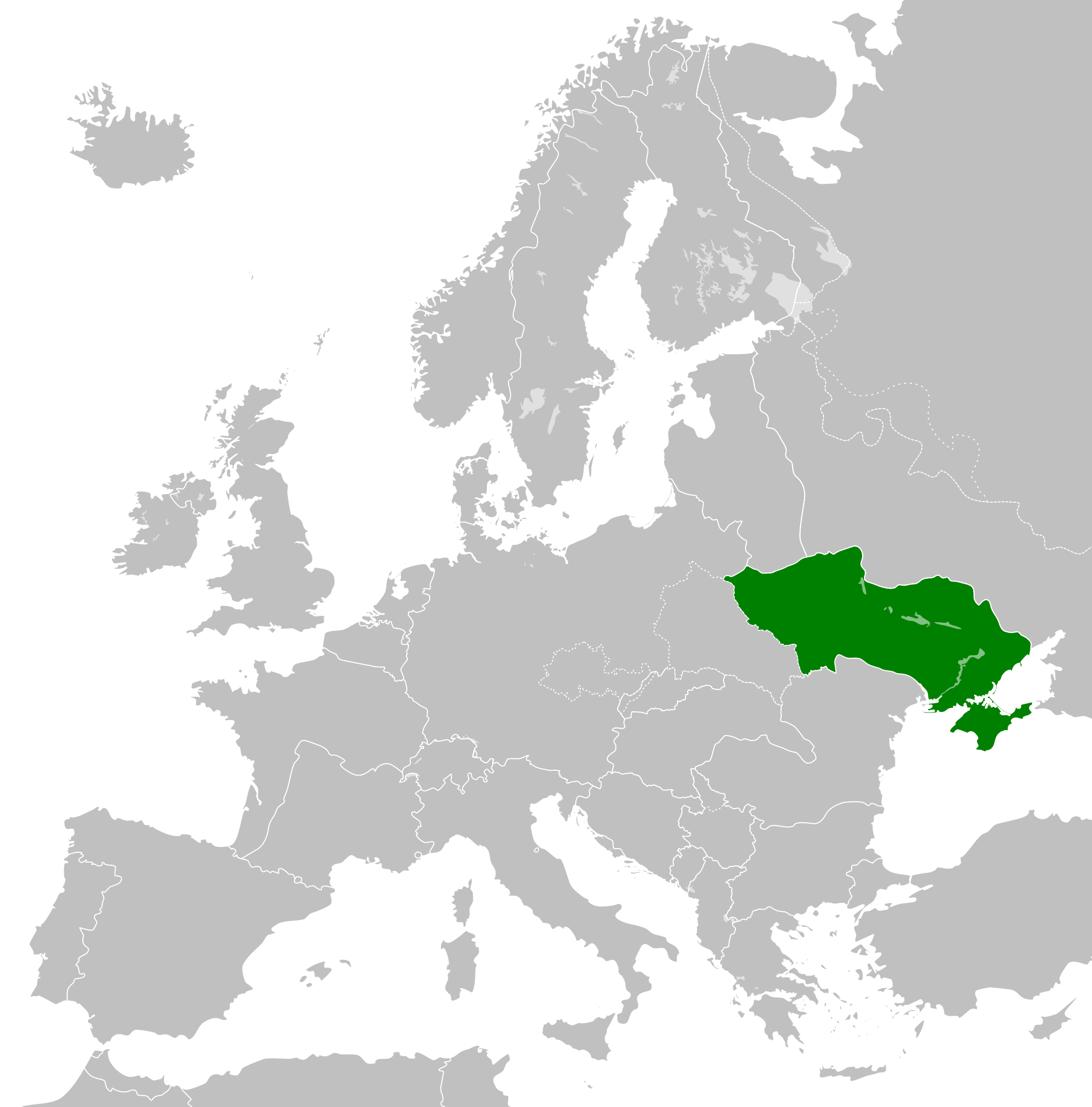
| kurrenti | 03:48, 7 Mejju 2023 | | 450 × 456 (480 KB) | Lvivske | OG map more accurate. By accounts in both body and the discussion page in 2014, Crimea was "officially" part of Reich Ukraine |
| 09:23, 31 Marzu 2014 |  | 450 × 456 (500 KB) | GayTenn | Crimea not part of Reichskommissariat Ukraine | |
| 03:18, 8 Lulju 2013 |  | 450 × 456 (480 KB) | TRAJAN 117 | {{Information |Description ={{en|1=Reichskommissariat Ukraine in 1942.}} |Source ={{own}} {{AttribSVG|Europe 1942.svg|Alphathon}} |Author =TRAJAN 117 |Date =2013-07-08 |Permission ={{Self|GFDL|cc-by-... |
Użu tal-fajl
Il-Paġna segwenti twassal għal din l-istampa:
L-użu globali tal-fajl
Il-wikis segwenti jużaw dan il-fajl:
- Użu fuq ar.wikipedia.org
- Użu fuq az.wikipedia.org
- Użu fuq be.wikipedia.org
- Użu fuq ca.wikipedia.org
- Użu fuq cs.wikipedia.org
- Użu fuq de.wikipedia.org
- Użu fuq en.wikipedia.org
- Użu fuq es.wikipedia.org
- Użu fuq fa.wikipedia.org
- Użu fuq fi.wikipedia.org
- Użu fuq fr.wikipedia.org
- Użu fuq gl.wikipedia.org
- Użu fuq he.wikipedia.org
- Użu fuq id.wikipedia.org
- Użu fuq it.wikipedia.org
- Użu fuq ja.wikipedia.org
- Użu fuq ko.wikipedia.org
- Użu fuq lt.wikipedia.org
- Użu fuq ms.wikipedia.org
- Użu fuq no.wikipedia.org
- Użu fuq pap.wikipedia.org
- Użu fuq pl.wikipedia.org
- Użu fuq pnb.wikipedia.org
- Użu fuq pt.wikipedia.org
- Użu fuq ro.wikipedia.org
- Użu fuq ru.wikipedia.org
- Użu fuq sk.wikipedia.org
- Użu fuq sq.wikipedia.org
- Użu fuq sr.wikipedia.org
- Użu fuq th.wikipedia.org
- Użu fuq tr.wikipedia.org
- Użu fuq ur.wikipedia.org
- Użu fuq vi.wikipedia.org
- Użu fuq www.wikidata.org
- Użu fuq zh-yue.wikipedia.org
- Użu fuq zh.wikipedia.org
.svg)